SPH Engineering has synchronized its 3 product lines: UgCS, mission planning and flight control software; UgCS Integrated Systems, airborne integrated systems with sensors from diverse manufacturers; and ATLAS, AI platform to process and analyze geospatial data. Workflows include the following procedures:
- organization-wide survey planning and job tracking with ATLAS;
- field-level flight planning with UgCS;
- data acquisition with complex sensors with UgCS Integrated Systems;
- data storage, analysis and visualization with ATLAS.
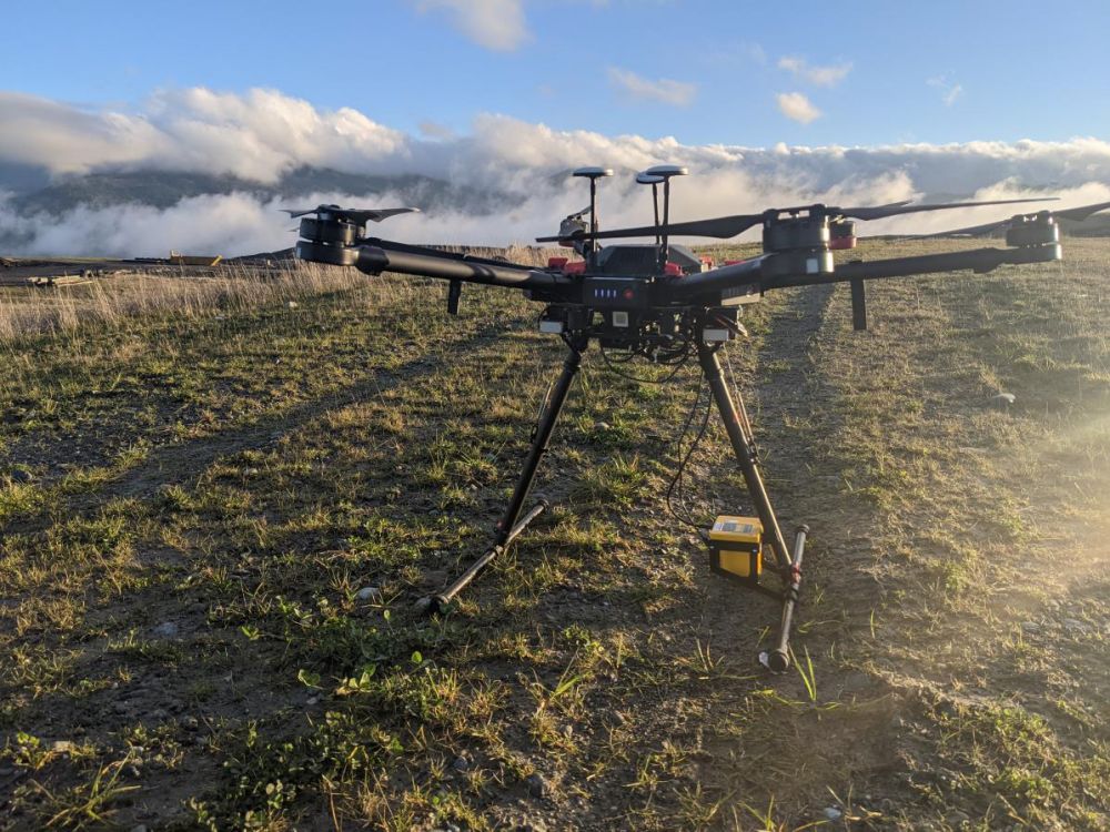
“We are trying to connect the dots for professional users. Recently we have implemented LIDAR Tools in UgCS and simultaneously added point cloud viewer to ATLAS to ease collaboration and sharing of collected data. In a similar way as drone professionals may identify methane leaks with Falcon Laser Methane detector and visualize results in ATLAS”, Alexei Yankelevich, head of software development at SPH Engineering, comments.
The solution is designed for professional surveyors and is also ready for deployment
to corporate IT infrastructures. An added privacy value is guaranteed thanks to an opportunity to choose between an in-house server or a cloud as a storage method.