


By combining these technologies, the study aims to provide a safer, more efficient, and scalable method for obtaining detailed information about the internal structure of a snowpack.
Challenge
The primary challenge faced by GEORESEARCH in its pursuit of advancing snow and ice studies was the need for efficient tools to conduct high-resolution, subsurface imaging.
Traditional approaches include excavating a snow pit and conducting stability tests, which have several drawbacks. Human exposure to avalanche-prone terrain is necessary, making these methods potentially risky. Additionally, the process is time-consuming, incurring high costs, and impractical for comprehensive coverage of larger areas. To address these challenges, remote sensing methods can be employed. Drone-based GPR solution from SPH Engineering was a solution for accessing difficult-to-reach areas with time and resource efficiency.
Client
The project described in this article, STRATIFY, results from the partnership between GEORESEARCH and LO.LA Peak Solutions GmbH. The research was founded by the FFG.
GEORESEARCH is a non-profit research institution specializing in geomorphology, geoinformatics, and remote sensing. Their mission is to aid the sustainable development of alpine regions. Through the research, they create the foundation for climate change adaptation, delving into surface and subsurface changes influenced by climate, natural hazards, and their impact on lives and assets.
Solution
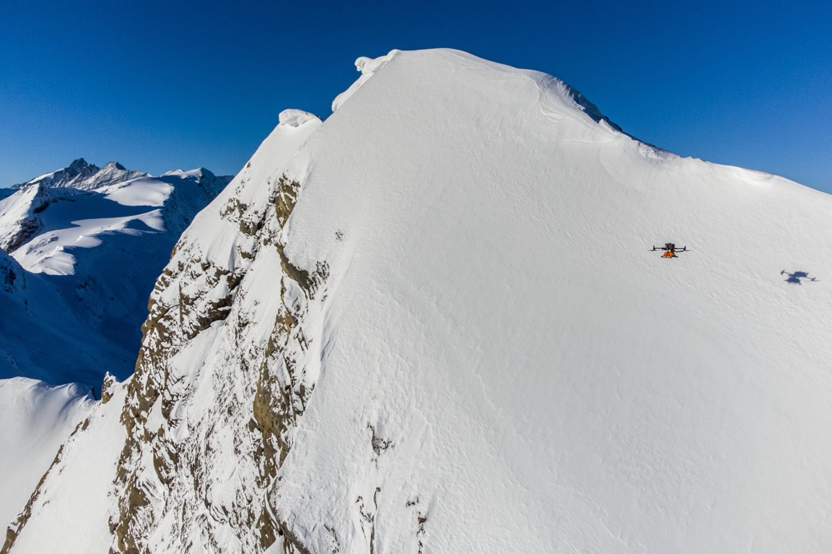
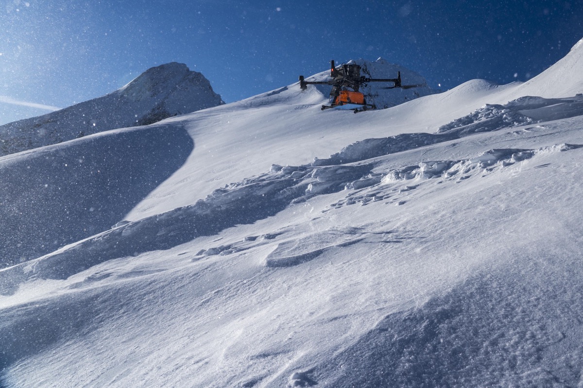
Data were acquired in a field campaign in April 2023 at the Kitzsteinhorn Glacier ski resort in Austria. A DJI M300 UAV with a Zond Aero 1000 Ground Penetrating Radar (GPR) system was piloted remotely at a constant flight speed of 1 m/s to record GPR data on a pre-defined grid. The flight altitude of the UAV was kept constant at 5 m above the snow surface using a LiDAR altimeter. Additionally, snow depth was probe-measured at 23 points, and three extensive snow pits were dug as reference measurements. The snowpack observations included density and temperature measurements, grain form and size, hand hardness, wetness, and stability tests.
Outcome
Recent technological advancements have facilitated the utilization of UAV-mounted Ground-Penetrating Radar (GPR) for snowpack investigations. Although studies employing UAV-borne GPR on flat terrains exist, there is a need for similar research focused on such terrains. This study breaks new ground by concentrating on high-alpine steep terrain, uniquely contributing to the field. The developed algorithm for automated boundary layer detection allows for swift and precise determination of current snow depth and the derivation of snowpack stratigraphy. Validation of the method involved comparing GPR-based snow depth with reference data obtained through probing, revealing a strong correlation: r=0.70 (p=0.00061), MAPE=12.20%. Analysis of the stratigraphy data suggests that the adopted approach is technically adept at examining significant components of the snowpack, including very hard or soft layers, crucial in the formation of slab avalanches.
Zond Aero 1000 GPR SPH Engineering system helped GEORESEARCH to successfully map intricate details of snow and ice layers, revealing patterns and structures that were previously inaccessible. This breakthrough enhanced their understanding of current environmental conditions and laid the groundwork for more informed predictions regarding changes in snow and ice formations over time.


Conclusions
Existing snowpack monitoring techniques primarily hinge on fieldwork, presenting various drawbacks, notably high resource expenditure. Integrating UAV and GPR promises to mitigate the limitations associated with traditional fieldwork, thereby enhancing the safety and efficiency of data acquisition.